News & Notice
- NameKICT
- Date2017/08/08 18:45:57
- Hit3,553
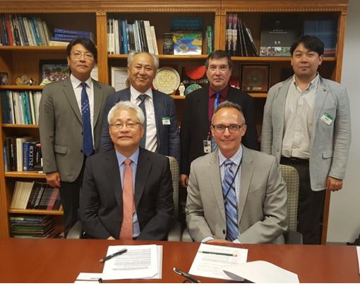
On August 8, KICT discussed technological cooperation plans for ‘Water resource management using satellite images’ and ‘Extreme region and moon geography map production’ with International Cooperation Supervisor Timothy Stryker and Earth environment specialist Dr. Thomas Cecere at the head office of the US Geological Survey (USGS).
At this meeting between KICT and USGS, the focus of discussions was the various synergies that could be achieved through the cooperative relationship between the USGS with its strengths in satellite image-based Earth observation and analysis technologies and KICT as a research institute specializing in civil engineering and architecture. The USGS is actively engaged in research on ‘Regional Earth Environment Changes’ using Earth observation satellite images for the efficient management of disasters and calamities across the huge territory of the United States, while KICT procures technologies related to ‘localized slope incidents’ based on on-site surveys.
The USGS also showed a great deal of interest in KICT’s Extreme Construction Research Division’s ‘Research on Building a Moon Topographical Map and Selection of Moon Probe Landing Area’. The USGS proposed various cooperation plans such as technological training in order to share its technologies and experience building maps of the moon with researchers at KICT.
A research institute under the US Ministry of Home Affairs, the USGS (U.S. Geological Survey) was founded in 1879. It gathers data related to topography, geology, natural resources and natural disasters. In particular, it focuses on biological, geological, geographical and hydrological research utilizing Earth observation data such as satellite and aerial photos. The USGS EROS operates Landsat video satellites.

-
 c94911cb3f7078ffd7330e57ca3761d20.jpg
(0Byte / Down:146Cnt)
Down
c94911cb3f7078ffd7330e57ca3761d20.jpg
(0Byte / Down:146Cnt)
Down
-
c723633a4fe499a636cc67ad33cbfebab.jpg
(0Byte / Down:182Cnt)
Down